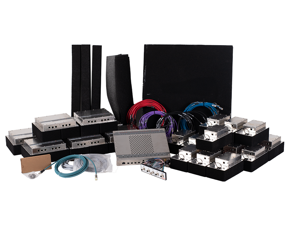
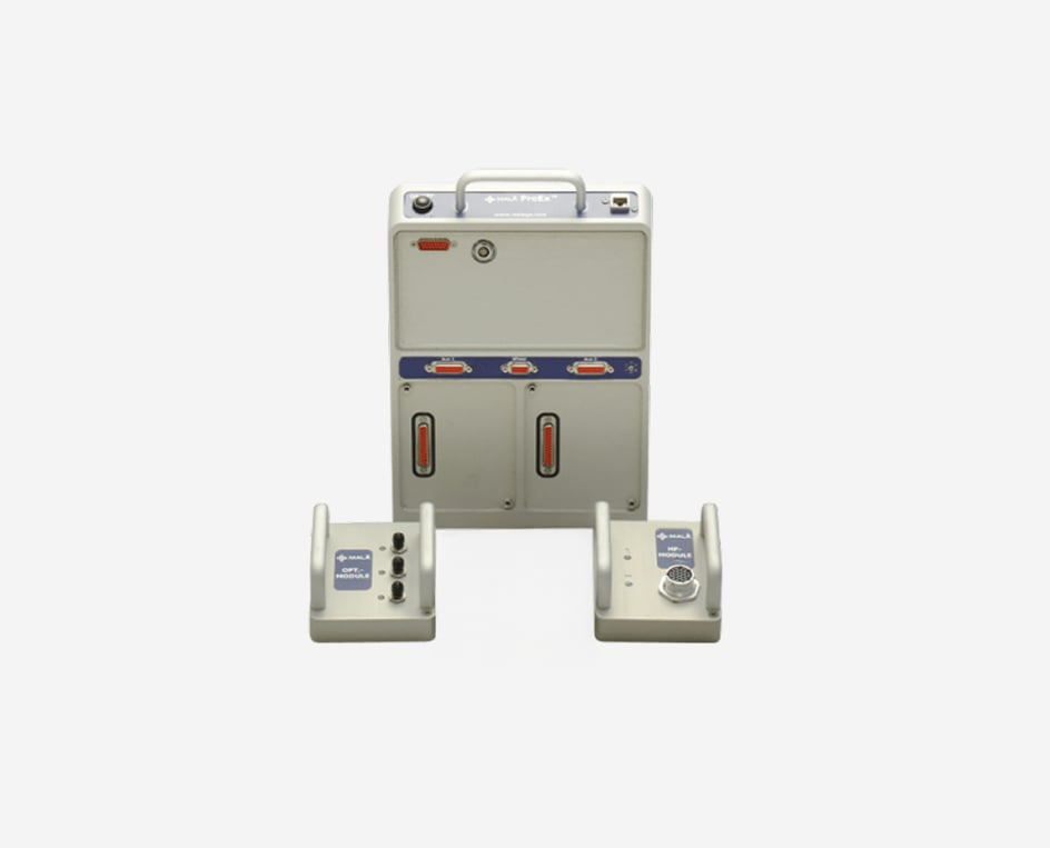
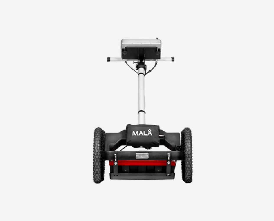
Ground penetration radar (GPR) products

MALÅ is the world’s premier provider of ground penetration radar (GPR) solutions, enabling professionals to create, analyze and transform vast amounts of complex data into easily understandable representations of the subsurface. With a history of high-tech innovation going back to the 1930s, MALÅ technology allows faster, safer decisions to be made while reducing project costs and protecting public safety.


GET QUOTE ON A MALÅ GPR

Fill out the contact form by clicking the button above or browse the MALÅ range below

intelligent ground penetrating radar solution

MALÅ Easy Locator Core

MALÅ Easy Locator Core is the state of the art, intelligent ground penetrating radar solution for utility locating professionals.

Integrated GPR solution

MALÅ Ground Explorer

MALÅ Ground Explorer (GX) is an integrated GPR solution with a wide range of antenna options and measuring devices

3D GPR array mapping

MALÅ MIRA HDR

Cost-effective 3D GPR array for mapping large areas to locate buried objects and artifacts. Used in utility locating, road surveys and bridge deck scanning

MALÅ Easy Locator WideRange

The dual antenna choice for utility mapping, with added post-processing and positioning features

Airborne GPR solution

MALÅ GeoDrone 80

Airborne GPR solution for efficient field work, designed specifically for data collection in remote, hazardous and in-accessible areas

MALÅ 3D Imaging Radar Array (MIRA)

MALÅ MIRA

MALÅ 3D Imaging Radar Array (MIRA), is a one-pass 3D system providing a cost-effective solution for large-scale mapping and subsurface object identification


flexible and versatile GPR solution

MALÅ ProEx

ProEx is fully compatible with a broad range of MALÅ GPR antennas, and offers a flexible and versatile GPR solution

MALÅ MIRA Compact

MALÅ 3D Imaging Radar Array (MIRA) is a high-speed, one-pass 3D GPR system and the most effective solution for large-area GPR mapping.

THE WORLD LEADER IN GROUND PENETRATING RADAR


MALÅ is the world’s premier provider of ground penetration radar (GPR) antennas and software, enabling professionals to create, analyze and transform vast amounts of complex data into easily understandable representations of the subsurface.

With a history of high-tech innovation going back to the 1930s, MALÅ technology allows faster, safer decisions to be made while reducing project costs and protecting investments.

Concrete and Rebar investigations

Learn more

Road Investigation and Mapping

Learn more

Utility Locating

Learn more

MALÅ Easy Locator WideRange

Locate buried metallic and non-metallic utilities


Utility locating demands high quality, ruggedized and precise GPR equipment. Field equipment needs to be easy to transport, quick to setup and use, and with the necessary functionality to efficiently get the job done.

Buried utilities are assets that needs proper geo-referencing. Both planar coordinates and depth are needed to protect these assets from costly mistakes and accidents. MALÅ Easy Locator WideRange has built-in DGPS (SBAS) and supports all major brands of stand-alone, high-precision, GPS solutions.

Explore MALÅ Easy Locator WideRange

Locate buried metallic and non-metallic utilities

MALÅ Vision

An easy to use cloud-based GPR software to help you go as fast as possible from data collection to delivering results.

Document all buried assets. An easy to use cloud-based software to help you go as fast as possible from data collection to delivering results.

Visualise and present GPR data in 2D and 3D and switch from one view to the other while working on a project. All processing is done in the background, leaving you free to continue with your analysis and interpretation.

Intelligent GPR processing and analysis software

MALÅ Ground Explorer

The flexible GPR solution


MALÅ Ground Explorer is an integrated GPR solution with a wide range of antenna options. It is an easy-to-use and field proven GPR solution for several different applications.

All new MALÅ Ground Explorer antennas are app-enabled and come with WiFi connection per default. This enables full integration with MALÅ Controller app and MALÅ Vision.

Explore MALÅ Ground Explorer

Flexible GPR solution

MALÅ Controller App

GPR data acquisition on your mobile device

MALÅ Controller App is an easy-to-use acquisition software to help you go as fast as possible from data collection to delivering results.

After acquiring your GPR data, upload it to MALÅ Vision with markers and meta data. Instantly share and present the data to anyone, anywhere.

GPR data acquisition software

MALÅ MIRA HDR

Ground Penetrating Radar for Large Area 3D Mapping


With the highest point density on the market
MALÅ MIRA HDR delivers unsurpassed class-leading resolution. The MALÅ MIRA HDR produces data with less noise, at higher speeds, with more functionality using improved mechanical design and modern software.

MALÅ MIRA HDR is a cost-effective 3D GPR array, optimized for mapping large areas to locate buried objects and artefacts.

Explore MALÅ MIRA HDR

3D GPR array system

Contact Sales

To contact sales, please fill in below form. Since all our products are modular, include any information you have on the intended application, geology/terrain, structural/ground-conditions, depth requirements and previous experience using our equipment - and we will get back to you with a recommendation.

  • This field is for validation purposes and should be left unchanged.

As a world leader in geo-technology, Guideline Geo and MALÅ is the perfect partner for your ground penetrating radar (GPR) solution needs. MALÅ has a history of high-tech innovation going back to the 1930´s and is the premier provider of GPR control units, antennas, software, and accessories around the world. 

We also offer support, training and rental options for all systems and equipment so you can focus completely on the planning and execution of your project. We combine service and knowledge with world-leading geophysical solutions. 

GPR Method 

Ground penetrating radar (GPR) is a non-destructive and rapid geophysical method that operates by transmitting electromagnetic waves form an antenna and reflects off layers and objects hidden in the ground. A typical ground penetrating radar system consists of one or more antenna elements, a control unit, an external Tablet/PC or a monitor, for storage and display of data. Ground penetrating radar offers an efficient way of investigating both the ground and constructions, with user-friendly one-man operated equipment. Depending on the application, you have a large selection of different MALÅ GPR solutions to choose from which will solve your investigation needs, both in terms of antenna frequency and number of data channels.  

GPR Applications 

GPR have a very wide range of applications, from measurements of the subsurface to investigations of constructions. The most common applications are: 

  • Utilities 
  • Concrete investigations 
  • Roads and Railways 
  • Archaeology 
  • Geology 
  • Water 
  • Earth and concrete dams 
  • Tunnels and mining 
  • Environmental 
  • Military 
  • Ice and snow 


MALÅ geophysical products 

The MALÅ range of products facilitates the mapping of everything from shallow rebars to investigations of hundreds of meters of ice.  

MALÅ Easy Locator Core is the state-of-the-art intelligent GPR solution for utility locating professionals. It offers a seamless workflow from the field to the office, through the easy-to-use software solutions MALÅ Controller App and MALÅ Vision. 

MALÅ Ground Explorer (GX) is an integrated GPR solution with a wide range of antenna options and measuring devices. It is wireless and works with the MALÅ Controller App or a dedicated data collection field controller.  

MALÅ MIRA HDR is a 3D GPR array for cost-effective mapping of large areas to locate buried objects and features. The system is ultra-fast and delivers high-density razor-sharp data. 

MALÅ Easy Locator WideRange is, with its dual channel antenna, the go-to choice for both shallow high-resolution surveys and deep utility locating projects.  

MALÅ GeoDrone is an airborne GPR solutions for efficient field work, designed specifically for data collection in remote hazardous and inaccessible areas.  

MALÅ MIRA is a 3D GPR array providing a cost-effective solution for large-scale mapping and subsurface object identification.  

MALÅ ProEx is fully compatible with a broad range of MALÅ GPR antennas and offers a flexible and very versatile GPR solution from concrete investigations to deep geological and glaciological investigations. 

MALÅ Concrete Explorer (CX) is an easy-to-use GPR system designed for concrete investigations and non-destructive imaging of man-made structures.  

Contact us to get a quote 

If you have any questions, you are always welcome to contact our customer service or get in touch with our 24/7 sales support. We want to be close to you as a customer and therefore we aim to respond as soon as possible. Get in touch with our dedicated Global Sales and Applications support teams by filling out the webpage contact form.