Finding Minerals with Geophysics: Mapping Hidden Deposits for the Green Economy
Mineral exploration using geophysics will become more and more common with increasing worldwide development, and an ever increasing demand for minerals. In this context Minerals can refer to different rock types and sediments but more likely commodities such as gold, copper, iron etc. In addition to the continual demand from normal global development, driven by expanding communities and the associated increases in infrastructure and consumer goods, there are often spikes in demand to cover sudden growth areas. We are experiencing such a phenomenon now with many countries committing to green goals that are reliant upon new electronic and battery technologies, driving the search for specific materials within the Earth’s crust.
Mineral exploration can be quite challenging with large areas to cover, sometimes in very rough terrain, with complicated geological structures hiding the minerals we want to mine. The deposits can be both deep, small, and/or scattered or have a low grade of the wanted mineral. The physical contrast between the host and our target can also be low, if any.
This means that the chosen investigation technique should be able to address these issues. Primarily, a method should be chosen knowing that its response to the host material and the target resource will provide sufficient contrast to identify anomalies that should be further explored, i.e. investigated in more detail.
For decades, significant exploration has been done with geophysical instruments such as magnetometers, different EM (electromagnetic) systems such as TEM, gravimeters, resistivity & IP (induced polarization), and SP (self potential) equipment. All of these can provide outstanding coverage of the interesting area, both horizontally and vertically.
It should be noted that exploration is not limited to the search for new deposits but also the re-evaluation of known deposits or previously surveyed areas to reassess them. This might be in response to the availability of new technologies for detecting or processing the material, or due to rising commodity prices, making previously unviable deposits profitable. Exploration can also be related to the expansion of mineral resources at active mine sites or to re-processing of waste material.
After initial geophysical investigations have been made, a more detailed phase starts, including targeted geophysical investigations, often in boreholes and also by a program of coring and physical sampling.
Geophysical Methods for Mineral Exploration
Guideline Geo´s wide range of geophysical investigation techniques can solve a number of the most common questions that arise during the exploration phase of a mining project. They will give a non-destructive and cost-efficient way of gaining a better understanding of the sub-surface conditions.
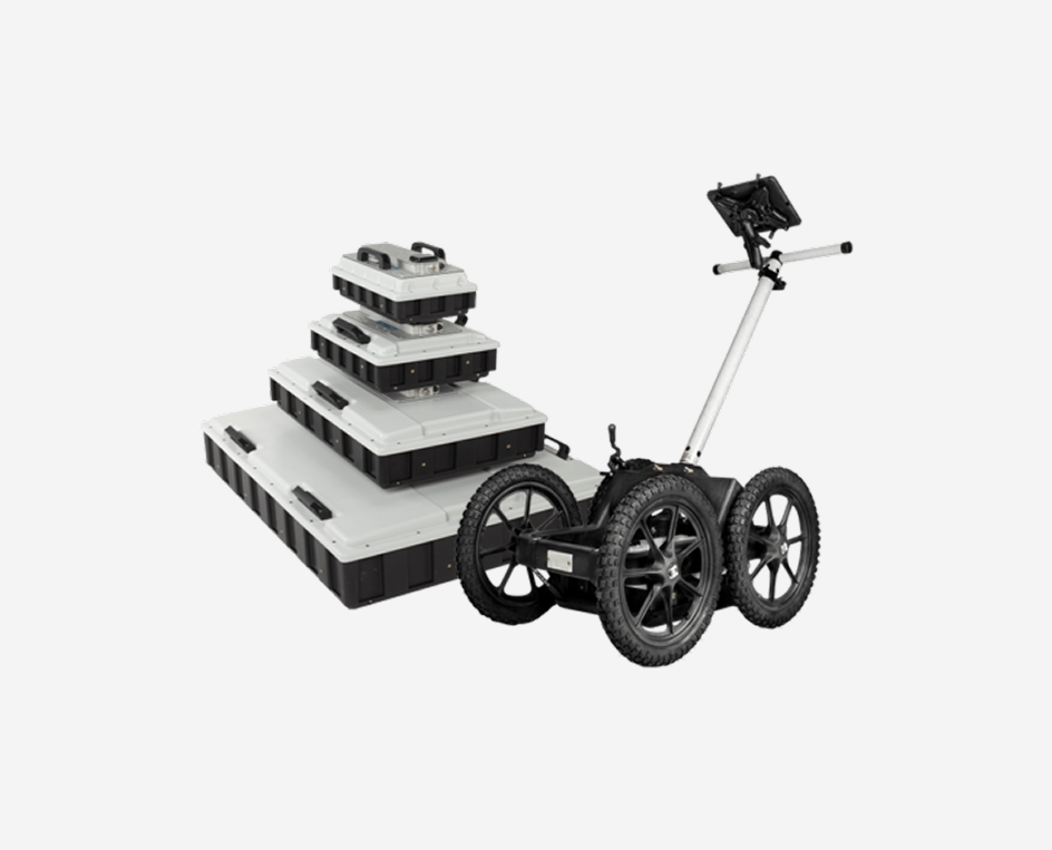
For prospecting and exploration IP (induced polarization), EM and resistivity, are important geophysical methods to use, together with SP (self-potential). GPR and seismics can also provide important information, especially borehole investigations.
It should be remembered that, in searching for some commodities, identifying the mineral is not the primary goal but rather the geological setting in which it is likely to be found. Gold, for example, is hard to detect directly, but the deposits which may contain it can be found based on electrical properties including conductivity, resistivity and chargeability.

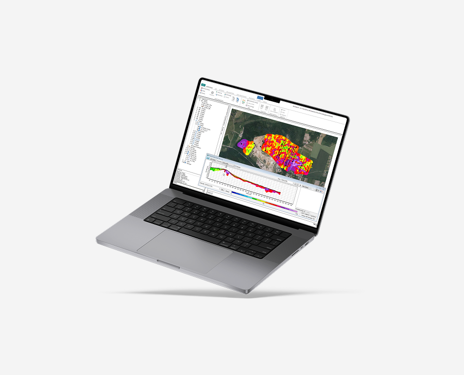
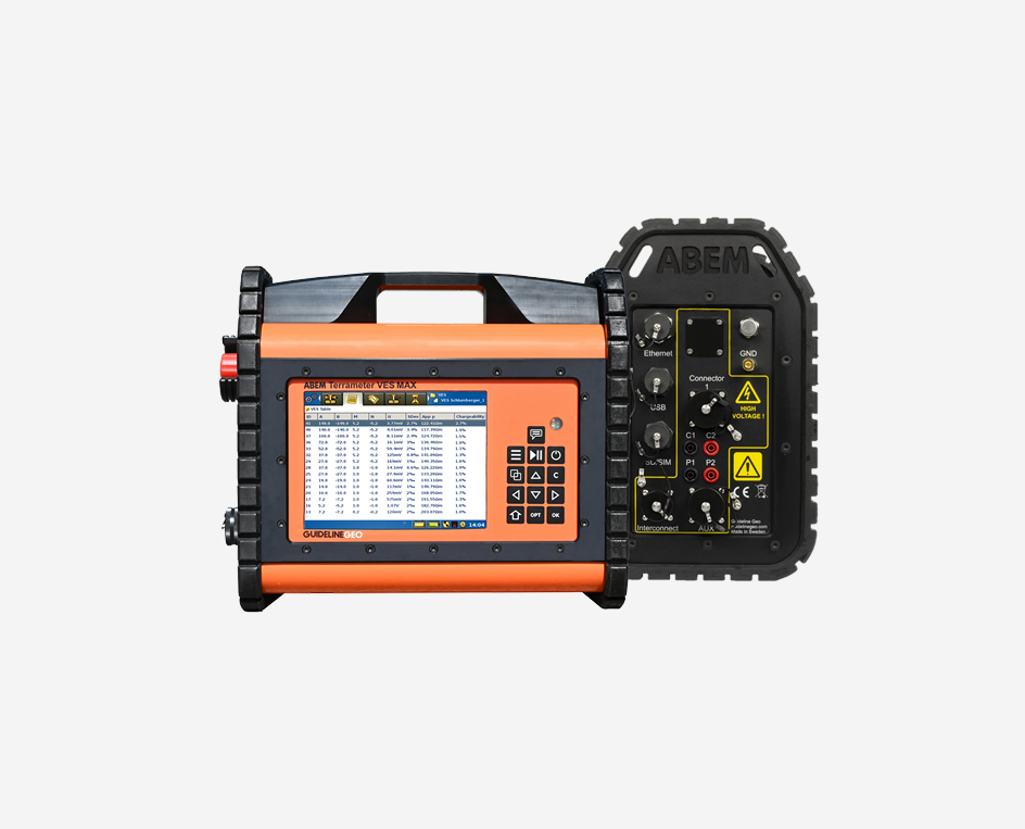
Resistivity and IP for Mineral Exploration
Resistivity and IP surveys are most often carried out in combination. The same equipment is used for both and to measure the two parameters instead of one does not necessarily prolong field acquisition times to any great extent. The IP will provide additional complementary information to the resistivity which is a critical aid to interpretation when undertaking mineral exploration for particular targets. Measurements can be made from the surface or with a combination of surface and borehole electrodes for improved resolution and better definition of 3D targets.

Resistivity measurements are suitable for:
- Investigation of shear zones, dykes, conductive, clay filled or resistive quartz formations. These formations may host the desired mineral
- Mapping depth to bedrock and bedrock topography
- Investigations of lithology
IP data are suitable for:
- Detecting and mapping disseminated mineralization, even at a low-grade.
- Providing information on grain-surface chemistry.
- Investigations of lithology
For instance, IP can be used for gold, as the chargeability of the gold bearing formation (most often sulphide mineralization) has a higher chargeability than the surrounding geological formations. From resistivity alone it could be difficult to differentiate between the low resistivity mineralization and, for example, water-bearing fracture zones.
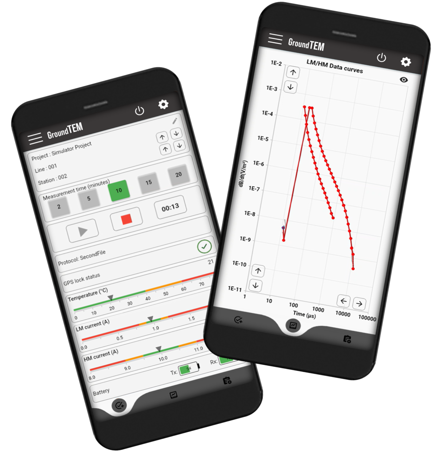
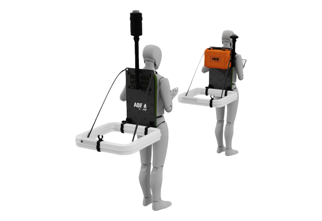
TEM for Mineral Exploration
TEM investigations are suitable for:
- Mapping of conductive mineral deposits such as polymetallic high-grade sulphides (Cu, Zn, Pb ± Au, Ag) or Ni-Cu (±Co) in mafic rock
- Gold deposits related to high-grade pyrrhotite or pyrite mineralization.
- Mapping depth to a bedrock unit
- Mapping bedrock type and variation within it

Advances in processing software now make it possible to start extracting IP effects from TEM data which opens up further opportunities for the use of TEM systems within mineral exploration.
SP
SP investigations can also be carried out with mostly the same instrumentation as for IP and resistivity, with some requirements regarding the measuring electrodes. SP measurements are suitable for:
- Exploration of sulphide mineralization; these formations often host base metals such as Cu, Zn, Ni and Pb.
What method and technique to use?
The key considerations when selecting which method to employ will be “what is the target mineral?” and “what is the geological setting?”. These have been summarized in the sections above, however there will very likely be other factors to consider which may preclude the use of a particular methodology. For example:
- TEM is unsuitable in or close to urban areas and infrastructure due to sources of electromagnetic disturbance, IP and SP measurements can be sensitive to electrical disturbance from trains, industrial processes and thunderstorms.
- TEM might be more suitable for deep investigations (>500 m) of conductive bodies when compared to compact resistivity / IP systems which might be limited by access, equipment power or general survey practicalities.
- Resistivity requires galvanic contact via electrodes of some description, which can be both hard and time consuming in environments with bare rock, very resistive overburden or asphalt etc.
- TEM is not well suited to differentiating between highly resistive geological units; the method responds better to conductive features. In complex geologies careful consideration must be given to how TEM data are collected and complex 3D numerical modelling will likely be required.
Note! Most often a combination of different geophysical methods or other investigations techniques will be most effective. And whilst drilling is a necessity, any means of reducing the quantity of drill sites will have a big impact on the cost of exploration: “drilling generally represents the largest single cost associated with mineral exploration and the delineation of an ore deposit once it has been discovered. Hundreds of drill holes may be required to define the boundaries and evaluate the quality of an orebody. Decreasing the number of drill holes, increasing the drilling rate, or reducing the energy requirements for drilling would have a substantial impact on mineral exploration and development costs”
(National Research Council. 2002. Evolutionary and Revolutionary Technologies for Mining. Washington, DC: The National Academies Press. https://doi.org/10.17226/10318).
Other Geophysical methods
Guideline Geo also provides instrumentation for GPR and seismic investigations. Both methods can in some exploration applications provide the necessary data to focus further work.

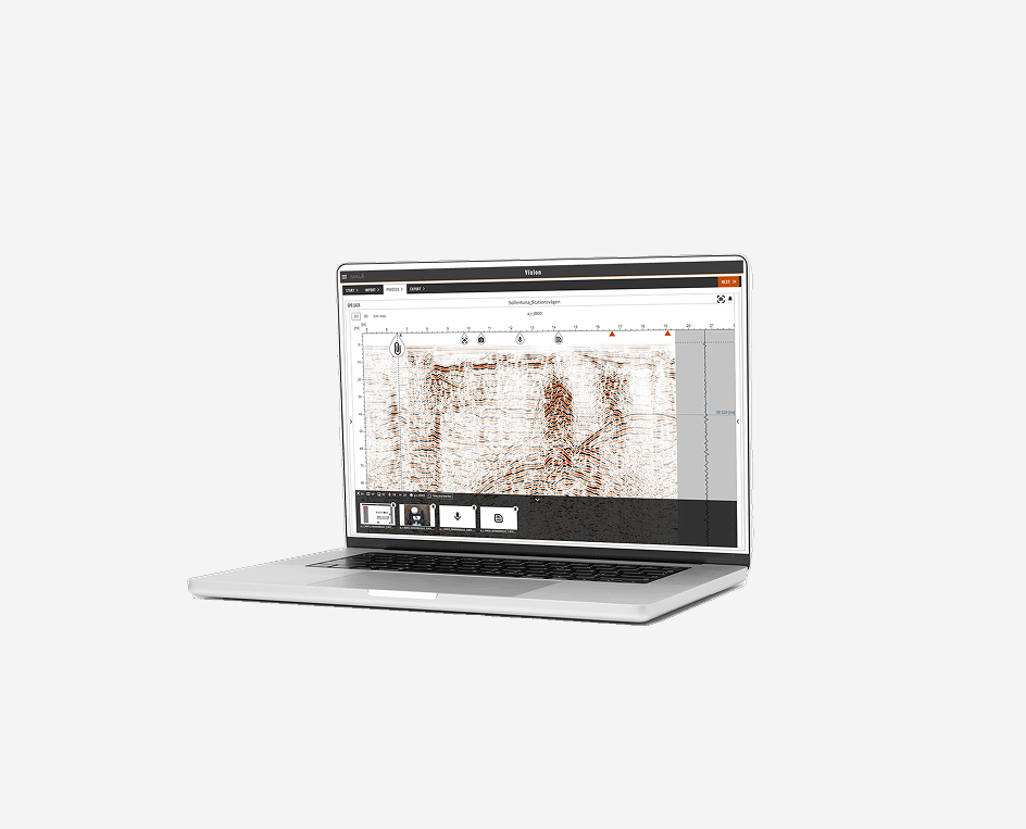
Ground Penetrating Radar GPR for mineral exploration
- Depth to bedrock, geology
- Borehole GPR investigations for geological contacts in the bedrock and information on fractures
- Rock quality, e.g., fractures in a marble or clay layers in a limestone
- Exploration for fluvial deposits of gold and diamonds as well as beach deposits of titanium and iron-rich heavy minerals.
- Detection and tracking of mineral-rich veins, major fault zones, and lateritic nickel exploration
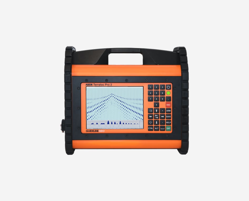
Seismics for mineral exploration

- Seismics can be used to map geological structures hosting mineral deposits
- In some instances, velocity contrasts may help identify the presence of large ore bodies
- Depth to bedrock and determining the strength of bedrock (rippability) which may impact the extraction strategy and costs.
Other geophysical technologies outside of the Guideline Geo product range may be more appropriate for some mineral types (for example rare earth elements, which are a key component of many “green” technologies and electronics) or may provide useful complementary datasets to help simplify the exploration process. If you have a need for some of these other technologies, contact us to discuss your requirements; our wide range of partners and contacts within the geophysical manufacturing sector may allow us to provide you with a complete package of instruments for your specific needs.