The combination of resistivity and GPR resulted in a better understanding of water-conductive and weak limestone layers within the soft rock continuously along the profiles, not just in a few selected drill holes as is often the case. A worst-case erosion rate was determined by all gathered evidence jointly. It was found that erosion rates are low enough to keep the planned buildings safe for 120 years (construction lifetime).
CHALLENGE
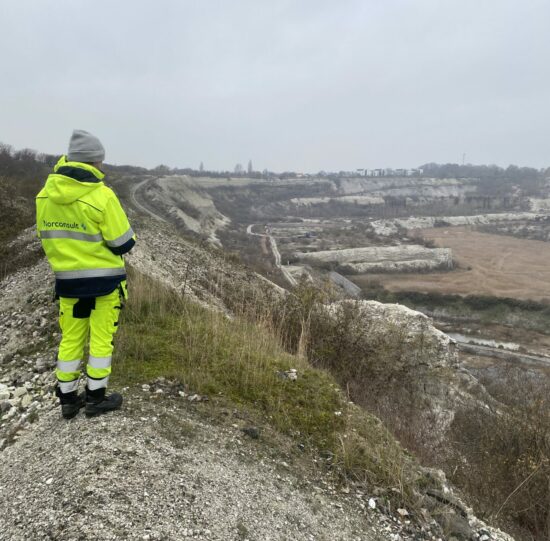
The Limhamn open pit limestone quarry near the Malmö city center was until the 1990’s an important source of carbonates for concrete production. After shutdown of the then 60 m deep and roughly 84-hectare large quarry the lime walls were exposed to freeze-thaw processes and weathering which have degraded the lime’s strength in places. Meanwhile, a high demand for urban developments in the whole Malmö-Copenhagen region has sometimes led to an increased use of land with challenging geologic preconditions.
The main aim of this study was to use geophysical and geological workflows to be able to assess if the current safety zone around the pit (50 m) is still sufficient even after the planned construction projects.
SOLUTION
It was decided that geophysical surveying was needed to complement the geotechnical drilling and geological mapping that had been carried out previously. The key thing is to manage the slopes and assure people’s safety in the built environment. The resistivity was measured on the flat clay till areas surrounding the pit while the GPR was done on the pit floor.
ABEM Terrameter LS2
CLIENT
The job was commissioned by the city planning office of Malmö city. The city plans to, together with private sector companies and contractors, develop the area in the years to come.
PROJECT
Method:
Resistivity, GPR, InSAR for noting any ground movement on hard surfaces, cross comparisons of varying elevation models and aerial photos from different years to pinpoint targets for detailed geological inspection in the field.
Car-towed GPR profiles were measured on the old, abandoned quarry roads. The GX internal GNSS was used.
Solution:
• ABEM Terrameter LS2
• Malå GX @450 MHz
• Topcon Hiper VR RTK-GNSS
• GIS evaluation of satellite-derived InSAR data and historic information
Measurement:
Three partly overlapping resistivity profiles (a=5 m) in a triangle formation to get a sense of subsurface 3D in an area where construction is planned. All electrodes were positioned with the RTK-GNSS.
Resistivity profiles (a=5m)
Inversion and visualization software:
Resistivity inversion and visualization was done utilizing Aarhus Workbench while the GPR data was processed in Reflex. The GIS software ArcGIS Pro and QGIS were used to keep track of observations and the geometries of measurements.
Acknowledgement
We would like to thank Dr Martin Persson, Ingrid Zar and Fredrik Andersson and Norconsult AB for sharing their experiences from integrating GPR and resistivity in their important slope stability work.