Safe Closure of a Mine with Geophysical Investigations
When a mineral resource has been exhausted and a mine is closed, post-mining operations begin; the process of decommissioning and reinstatement. How this stage is undertaken is often crucially important for the safety of the future environment. If the mine is not attended to in a proper way, it can give rise to catastrophic environmental effects for a long time ahead. A mining operation, subsurface or open-pit, needs to be closed in a safe and sound way, so as not to risk contamination, landslides, collapses etc. and not only during the decommissioning and reinstatement stage but long term into the future.
Investigation of the ground and the infrastructure installed during the mining operation is needed to make informed decisions on demolition procedure and / or possible future use. Traditional point-wise drilling and sampling methods can be supplemented with geophysical investigations to improve the efficiency of this process but also improve the coverage and understanding, of the site, thus reducing the risk of ‘surprises’. These investigation techniques will provide non-destructive and cost-effective data about a site, either as a single one-off measurement, or continually over a longer time series.
Site Investigation and Long-Term Monitoring using Geophysics
Guideline Geo´s wide range of geophysical investigation techniques can solve a number of the most common questions that arise during the closing down of a mine, both for direct investigations but also for a longer time perspective by monitoring changes in structures, in the ground and in the groundwater.
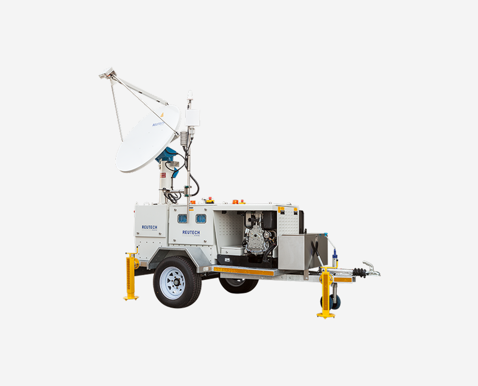
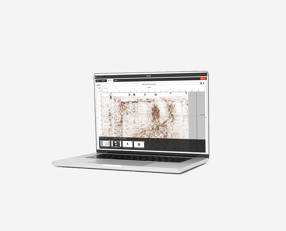
GPR, Resistivity and Seismics are all are important geophysical methods to use, both from the surface but also in boreholes.

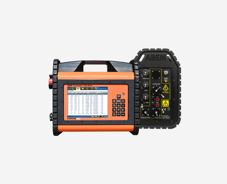
Resistivity in Relation to Post Mining Operations
Resistivity measurements can provide valuable data for the following applications:
- Leakage from sedimentation dams, both one-off mapping and longer-term monitoring
- Leakage from waste rock and mill tailing deposits, again both mapping and monitoring
- Mapping existing voids and tunnels
- Survey of surrounding geology, for example to test the integrity ahead of new use – e.g. land-fill for refuse or storage for hazardous waste, where the rock volume should preferably be without major fractures or porous zones.
- Investigation and monitoring of sealing layers on mining waste
Note! Resistivity and IP surveys can be carried out in combination. The same equipment is used for both and to measure the two parameters instead of one does not necessarily prolong field acquisition times to any great extent. The IP will provide additional complementary information to the resistivity which can be a critical aid to interpretation.
There are also two different approaches to borehole resistivity – the simplest is resistivity logging where a series of electrodes mounted on a probe and the attached cabling are lowered into a borehole to measure the resistivity of the fluid and also the material immediately surrounding the borehole. This provides far more accurate measurements of resistivity values and horizon interfaces than would be possible measuring from the surface. For detailed analysis of deposits further from the borehole, waterproof imaging cables can be lowered into adjacent boreholes and a tomography dataset built up between them.
Self potential (SP) measurements can be used to estimate seepage through embankments. The measurements can either be made as one-off mapping or as long-term monitoring. The SP measurements can be made in combination with resistivity and IP measurements.
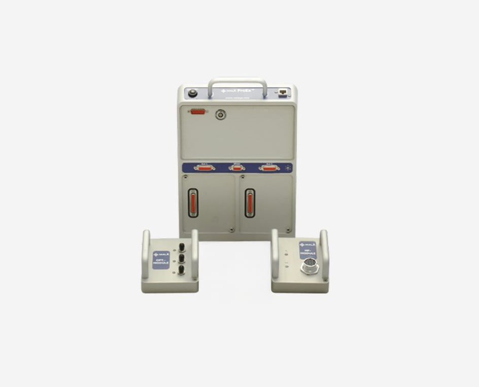
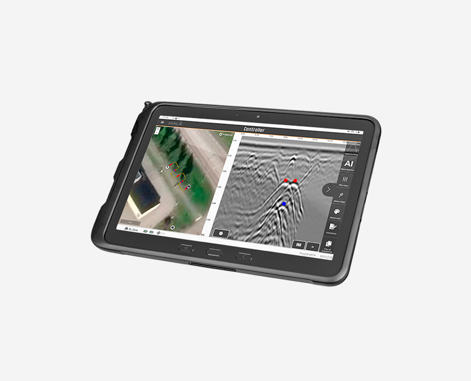
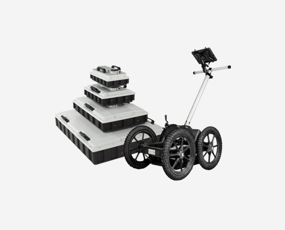
GPR in Relation to Post Mining Operations

Ground Penetrating Radar (GPR) can be efficiently used for the following applications:
- Mapping of existing voids and tunnels
- Mapping of dam constructions, both concrete and earth dams
- Mapping of underground infrastructure (i.e. utilities and constructions) prior to clean-up
- Investigation and monitoring of sealing layers on mining waste
It is also often advantageous to carry out GPR investigations within boreholes, both single and as tomographic measurements.
Seismics in Relation to Post Mining Operations
Seismics can be efficiently used for the following applications:
- Mapping legacy features such as void tunnels
- Stability of remnant structures such as spoil dumps and embankments
- Survey of surrounding geology, for example to test the integrity ahead of new use – e.g. land-fill for refuse or storage for hazardous waste.
To improve the detail achievable at depth, seismic borehole surveys can be undertaken. There are multiple means of doing this from simple, low-cost down-hole measurements (where a regular source is used at the surface and a geophone is lowered into the borehole) through cross-hole measurements (a source is lowered into one borehole whilst a receiver is placed in another) right up to full tomographic survey (multiple shot and receiver locations within adjacent boreholes).

What method and technique to use?
Whilst there are many factors involved in deciding upon the correct solution for a given project, these are some of the key considerations:
- GPR is suitable in non-conductive conditions (e.g. without clayey soils) for a range of tasks from shallow high resolutions investigations, down to approximately 30-50 meters.
- Resistivity and seismics are suitable for conductive and non-conductive conditions down to approximately 500 meters. The depth reached might be limited by access, equipment power or general survey practicalities.
- Resistivity requires galvanic contact via electrodes of some description which can be both hard and time consuming in environments with bare rock, asphalt, concrete or other hard-standing. It may be completely impossible on dams that have a rough rock protective layer (known as rip-rap or rock armor).
- If an active (as opposed to passive) seismic method is to be employed, the source needs some consideration; it needs to be big enough to get the energy to and from the desired depth whilst considering the ability of the material being work upon and any legislative or environmental constraints upon how that source is generated.
- 1D investigations (Such as TEM or VES) may be sufficient for broad prospection but GPR, ERT and seismic methods are best for more detailed results.
- Seismic methods can provide quantitative appraisal of material strength and stability.
- 1D methods (VES and VSP) are not well suited to identifying laterally confined features like fracture zones and intrusions compared to 2D methods which offer more data and detail.
Note! Most often a combination of different geophysical methods or other investigations techniques will be most effective.