Utilities, or buried infrastructure, are located with a range of different methods. The most used methods are EML (Electromagnetic Locators, passive or active) and GPR (Ground Penetrating Radar).
The choice of method depends on the type of utility and what other subsurface information is of interest. It is highly recommended to first perform an archive search, locate maps, talk to old construction workers, use official webpages with utility maps etc. When in the field, look for various installations on surface that may indicate buried installations, open manholes and confirm directions of installations, look for where the pavement has been reworked that may indicate new installations.
Then the locating can proceed with EML and/or GPR.
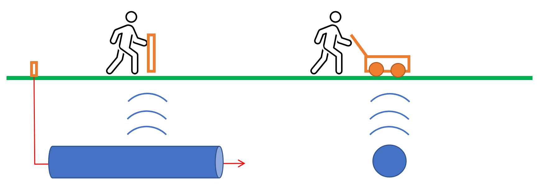
EML are suitable for most of the different types of utilities, but it can be hard to locate plastic gas pipes, water mains and clay pipes. EML investigations are easy to perform but will not give any answer on changes in ground conditions and local geology. Depth to installations can also sometimes be difficult to obtain.
GPR investigations can locate any type of utility and give information on depth to target, ground conditions and geology as well. When using only GPR, discrimination of the results is normally the biggest problem. GPR is available as both single channel, multichannel and complete 3D array equipment. For more information also read Our crowded subsurface Part 1 and Utility application area webpage.
The combination of EML and GPR is preferred in most cases.
Location of utilities can be done for:
- Avoidance. This is performed on-the-fly as excavation is ongoing and the purpose is to precisely guide the excavation to avoid costly damage to installations.
- Mark out. Data and interpretation is performed on site and marks/flags are placed on the ground to indicate the position of the utility. Mark-out can be completed just ahead of any excavation team, giving up-to-date results. The direct marking on ground may be surveyed and documented or just act as a direct in-the-field guide for later excavation work.
- Mapping. Data is collected, often in grids or parallel lines where positioning is aided by an RTK-GPS, and the processing is done in the office. For higher efficiency, larger areas are usually mapped using a GPR array solution containing multiple (10-30) data channels. The purpose with mapping is normally to exactly document all buried installations for future use, or to control the position quality of newly installed utilities.
More to read
Application areas
Methods
Case Stories
Products